TYPE:
SENSOR
LAYER:
DS_PHR1A_201907091900580_FR1_PX_W118N36_0302_00615
FORMAT:
DIMAP
RASTER:
image/jp2
General Information
Map Name
Geometric Processing Level
Radiometric Processing Level
BASIC
Image dimensions
Number of columns
5222
Number of rows
3349
Number of spectral bands
4
Dataset framing
Vertice
Longitude (DEG)
Latitude (DEG)
Row
Col
#1
-117.8221537443358
35.99887506693608
1
#2
-117.6729336492285
35.99522147240345
#3
-117.6705902995358
35.92743400763788
#4
-117.8219994721096
35.93185172683737
Dataset sources
PHR
Coordinate Reference System
Projected Coordinate System
Geocoding tables identification
EPSG(6.3)
Production
Production Date
2019-09-20T10:03:48.772
Job identification
4517061101-002
Dataset Producer Identification
AIRBUS DS GEO
Producer link
http://www.geo-airbusds.com
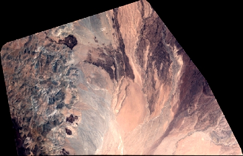
Quicklook
Copyright