TYPE:
SENSOR
LAYER:
DS_PHR1B_201907050724156_FR1_PX_E045S13_0305_01590
FORMAT:
DIMAP
RASTER:
image/jp2
General Information
Map Name
Geometric Processing Level
Radiometric Processing Level
BASIC
Image dimensions
Number of columns
39737
Number of rows
35076
Number of spectral bands
1
Dataset framing
Vertice
Longitude (DEG)
Latitude (DEG)
Row
Col
#1
45.13254381156959
-12.71493549308305
#2
45.31938047015084
-12.71181199877572
#3
45.31953268555481
-12.87293933134418
#4
45.13221037480159
-12.87573723557117
Dataset sources
PHR
Coordinate Reference System
Projected Coordinate System
Geocoding tables identification
EPSG(6.3)
Production
Production Date
2019-07-08T09:28:10.893
Job identification
4289473101-002
Dataset Producer Identification
AIRBUS DS GEO
Producer link
http://www.geo-airbusds.com
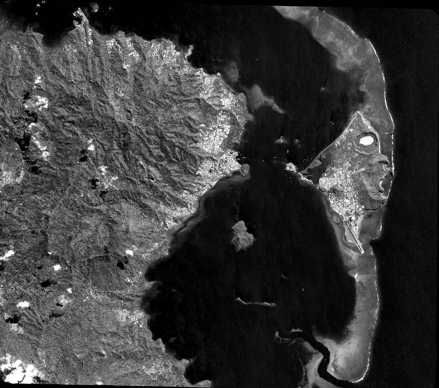
Quicklook
Copyright