TYPE:
SENSOR
LAYER:
DS_PHR1B_201907050723403_FR1_PX_E045S13_0305_01533
FORMAT:
DIMAP
RASTER:
image/jp2
General Information
Map Name
Geometric Processing Level
Radiometric Processing Level
BASIC
Image dimensions
Number of columns
39682
Number of rows
33926
Number of spectral bands
1
Dataset framing
Vertice
Longitude (DEG)
Latitude (DEG)
Row
Col
#1
45.13205655784768
-12.71412548131013
#2
45.31941025896158
-12.71551871829041
#3
45.31953009882322
-12.87557586995366
#4
45.13187998735955
-12.87359041573927
Dataset sources
PHR
Coordinate Reference System
Projected Coordinate System
Geocoding tables identification
EPSG(6.3)
Production
Production Date
2019-07-08T09:28:02.835
Job identification
4289473101-001
Dataset Producer Identification
AIRBUS DS GEO
Producer link
http://www.geo-airbusds.com
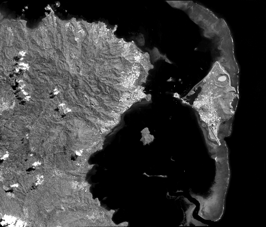
Quicklook
Copyright