TYPE:
SENSOR
LAYER:
DS_PHR1B_201907050724064_FR1_PX_E045S13_0305_01596
FORMAT:
DIMAP
RASTER:
image/jp2
General Information
Map Name
Geometric Processing Level
Radiometric Processing Level
BASIC
Image dimensions
Number of columns
9996
Number of rows
8832
Number of spectral bands
4
Dataset framing
Vertice
Longitude (DEG)
Latitude (DEG)
Row
Col
#1
45.133641753411
-12.71490126539919
1
#2
45.31939974979792
-12.7140024762935
#3
45.31954640602018
-12.87327914707974
#4
45.13331273178406
-12.87383684847609
Dataset sources
PHR
Coordinate Reference System
Projected Coordinate System
Geocoding tables identification
EPSG(6.3)
Production
Production Date
2019-07-08T09:28:29.802
Job identification
4289473101-006
Dataset Producer Identification
AIRBUS DS GEO
Producer link
http://www.geo-airbusds.com
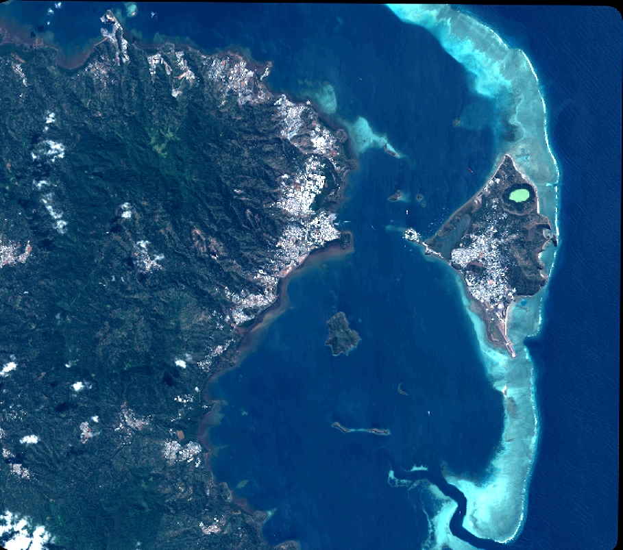
Quicklook
Copyright