TYPE:
SENSOR
LAYER:
DS_PHR1B_201907050723403_FR1_PX_E045S13_0305_01533
FORMAT:
DIMAP
RASTER:
image/jp2
General Information
Map Name
Geometric Processing Level
Radiometric Processing Level
BASIC
Image dimensions
Number of columns
9921
Number of rows
8481
Number of spectral bands
4
Dataset framing
Vertice
Longitude (DEG)
Latitude (DEG)
Row
Col
#1
45.13206384409255
-12.71414095249455
1
#2
45.3194128499293
-12.71553442330715
#3
45.31953178833331
-12.87556873258161
#4
45.13188635835432
-12.8735824953936
Dataset sources
PHR
Coordinate Reference System
Projected Coordinate System
Geocoding tables identification
EPSG(6.3)
Production
Production Date
2019-07-08T09:28:00.015
Job identification
4289473101-004
Dataset Producer Identification
AIRBUS DS GEO
Producer link
http://www.geo-airbusds.com
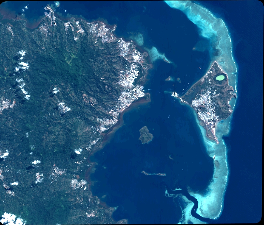
Quicklook
Copyright