TYPE:
SENSOR
LAYER:
DS_PHR1B_201907042312255_FR1_PX_E166S22_0208_01650
FORMAT:
DIMAP
RASTER:
image/tiff
General Information
Map Name
Geometric Processing Level
Radiometric Processing Level
BASIC
Image dimensions
Number of columns
40000
Number of rows
36580
Number of spectral bands
1
Dataset framing
Vertice
Longitude (DEG)
Latitude (DEG)
Row
Col
#1
166.06646780965
-21.62327836674769
#2
166.2609384250582
-21.62345060397584
#3
166.2611053949439
-21.78825054665629
#4
166.0661979289724
-21.78913253244529
Dataset sources
PHR
Coordinate Reference System
Projected Coordinate System
Geocoding tables identification
EPSG(6.3)
Production
Production Date
2020-08-28T18:57:13.589
Job identification
5289703101-1
Dataset Producer Identification
AIRBUS DS GEO
Producer link
http://www.geo-airbusds.com
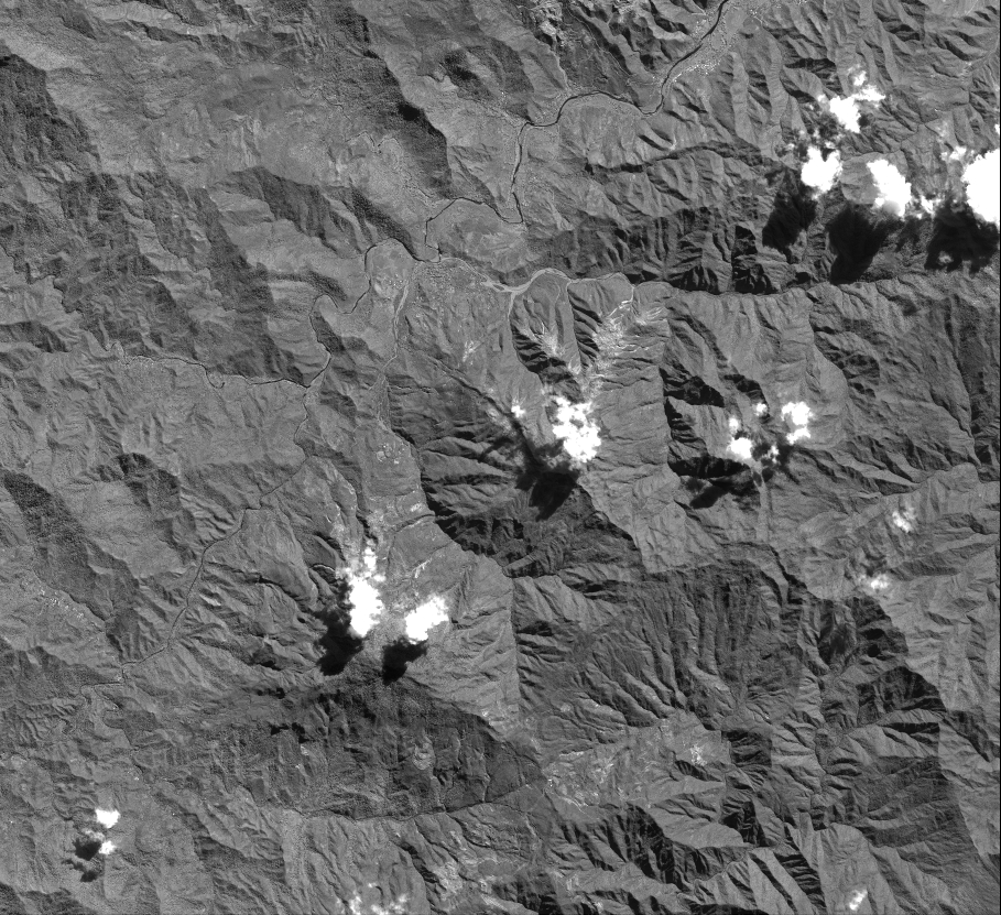
Quicklook
Copyright