TYPE:
SENSOR
LAYER:
DS_PHR1A_201907031128221_FR1_PX_W003N48_0120_02248
FORMAT:
DIMAP
RASTER:
image/jp2
General Information
Map Name
Geometric Processing Level
Radiometric Processing Level
BASIC
Image dimensions
Number of columns
36669
Number of rows
50156
Number of spectral bands
1
Dataset framing
Vertice
Longitude (DEG)
Latitude (DEG)
Row
Col
#1
-3.117912528667564
48.94260731123617
#2
-2.842886552801129
48.93265846938876
#3
-2.842802986919855
48.66618674125328
#4
-3.118005183975698
48.67761047191269
Dataset sources
PHR
Coordinate Reference System
Projected Coordinate System
Geocoding tables identification
EPSG(6.3)
Production
Production Date
2019-07-05T09:14:45.765
Job identification
4281696101-001
Dataset Producer Identification
AIRBUS DS GEO
Producer link
http://www.geo-airbusds.com
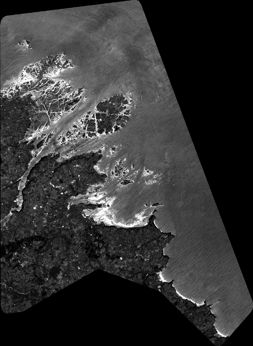
Quicklook
Copyright