TYPE:
SENSOR
LAYER:
DS_PHR1A_201907031128409_FR1_PX_W004N48_1020_02185
FORMAT:
DIMAP
RASTER:
image/jp2
General Information
Map Name
Geometric Processing Level
Radiometric Processing Level
BASIC
Image dimensions
Number of columns
39188
Number of rows
48736
Number of spectral bands
1
Dataset framing
Vertice
Longitude (DEG)
Latitude (DEG)
Row
Col
#1
-3.356852575207502
48.93684373203713
#2
-3.075709347399818
48.93027563563112
#3
-3.075923782855948
48.69815346444894
#4
-3.356929434926867
48.70595257580266
Dataset sources
PHR
Coordinate Reference System
Projected Coordinate System
Geocoding tables identification
EPSG(6.3)
Production
Production Date
2019-07-05T09:09:56.190
Job identification
4281697101-001
Dataset Producer Identification
AIRBUS DS GEO
Producer link
http://www.geo-airbusds.com
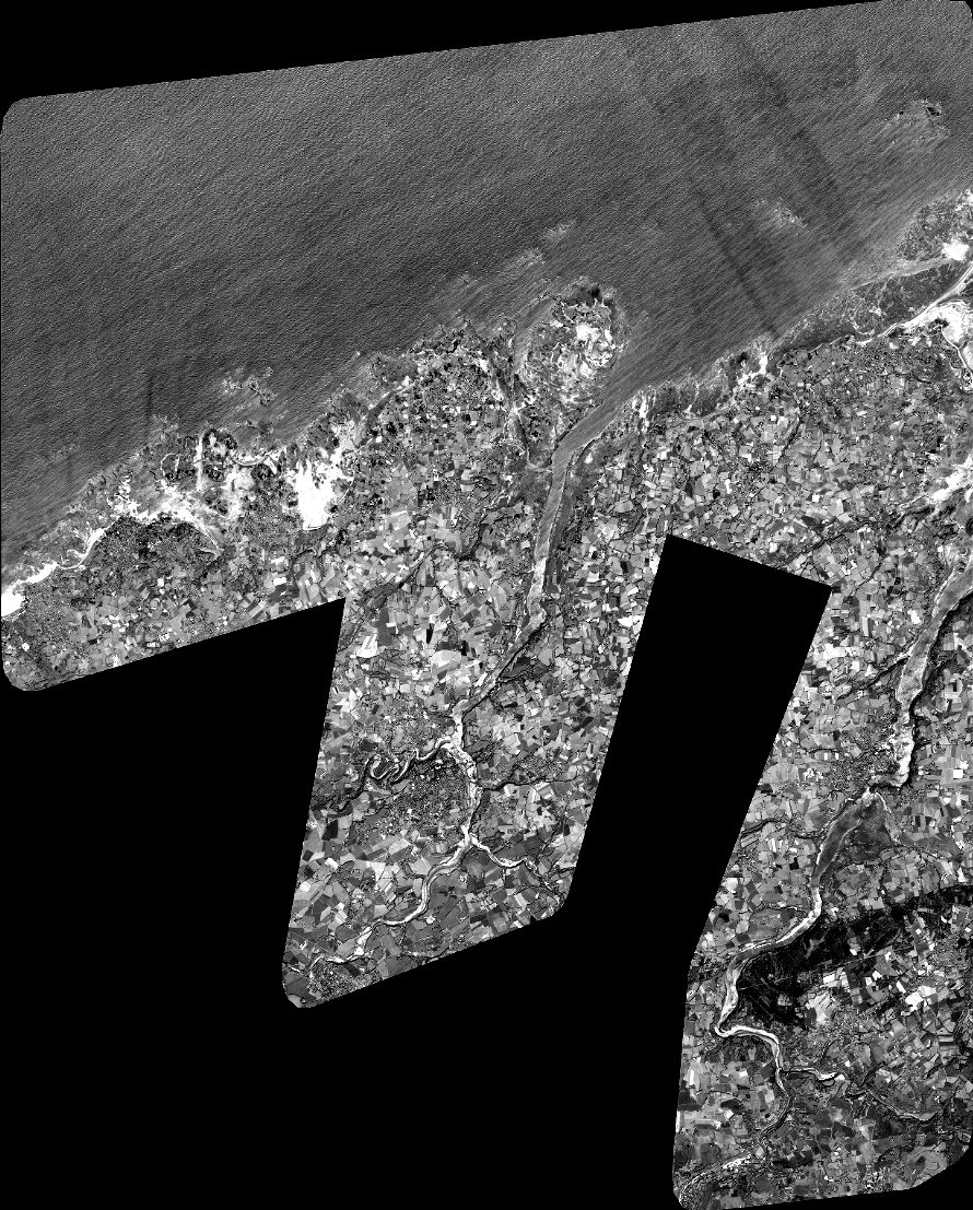
Quicklook
Copyright