TYPE:
SENSOR
LAYER:
DS_PHR1A_201907031128409_FR1_PX_W004N48_1020_02185
FORMAT:
DIMAP
RASTER:
image/jp2
General Information
Map Name
Geometric Processing Level
Radiometric Processing Level
BASIC
Image dimensions
Number of columns
9798
Number of rows
12184
Number of spectral bands
4
Dataset framing
Vertice
Longitude (DEG)
Latitude (DEG)
Row
Col
#1
-3.356833277521507
48.93683728200981
1
#2
-3.075682689634714
48.93026812685664
#3
-3.075900965289203
48.69816046186732
#4
-3.356914060220302
48.70596068503755
Dataset sources
PHR
Coordinate Reference System
Projected Coordinate System
Geocoding tables identification
EPSG(6.3)
Production
Production Date
2019-07-05T09:09:42.373
Job identification
4281697101-002
Dataset Producer Identification
AIRBUS DS GEO
Producer link
http://www.geo-airbusds.com
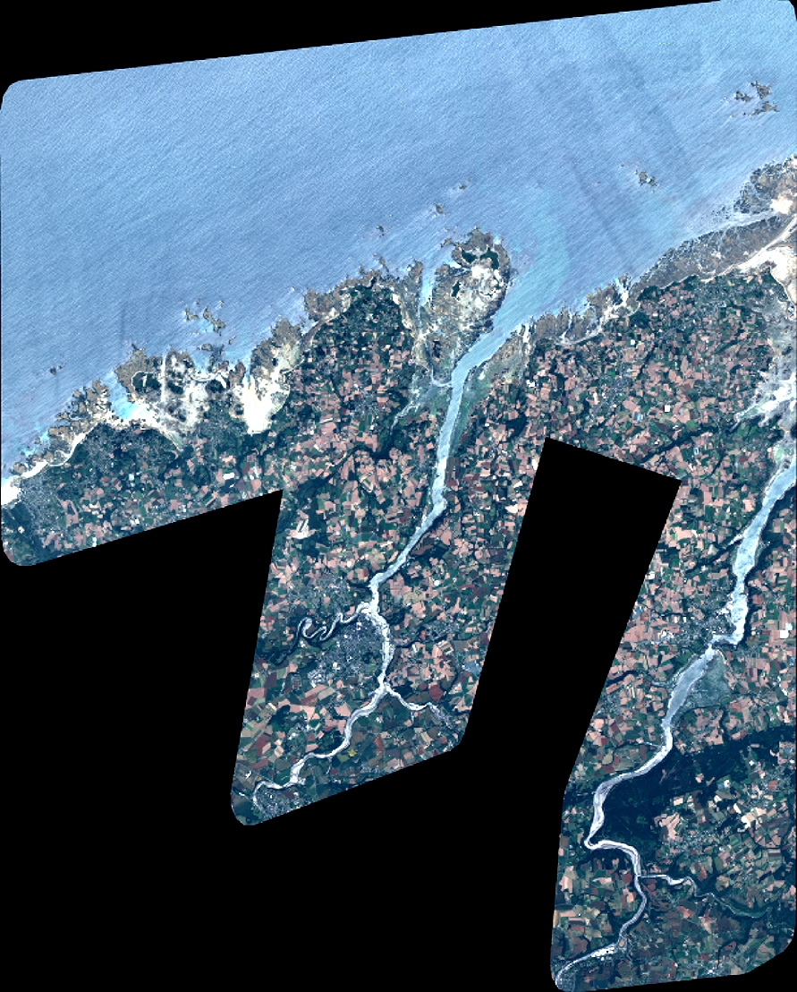
Quicklook
Copyright