TYPE:
SENSOR
LAYER:
DS_PHR1A_201907031129399_FR1_PX_W004N48_0217_01658
FORMAT:
DIMAP
RASTER:
image/jp2
General Information
Map Name
Geometric Processing Level
Radiometric Processing Level
BASIC
Image dimensions
Number of columns
36694
Number of rows
36774
Number of spectral bands
1
Dataset framing
Vertice
Longitude (DEG)
Latitude (DEG)
Row
Col
#1
-4.05117809750404
48.77563458862647
#2
-3.772185457151138
48.79190682278639
#3
-3.772687065371291
48.60402497739281
#4
-4.051444559498341
48.58891545003959
Dataset sources
PHR
Coordinate Reference System
Projected Coordinate System
Geocoding tables identification
EPSG(6.3)
Production
Production Date
2019-07-05T09:08:35.703
Job identification
4281695101-001
Dataset Producer Identification
AIRBUS DS GEO
Producer link
http://www.geo-airbusds.com
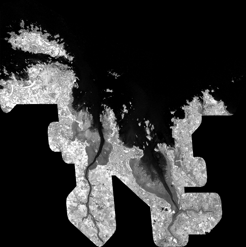
Quicklook
Copyright