TYPE:
SENSOR
LAYER:
DS_PHR1A_201907031129399_FR1_PX_W004N48_0217_01658
FORMAT:
DIMAP
RASTER:
image/jp2
General Information
Map Name
Geometric Processing Level
Radiometric Processing Level
BASIC
Image dimensions
Number of columns
9174
Number of rows
9194
Number of spectral bands
4
Dataset framing
Vertice
Longitude (DEG)
Latitude (DEG)
Row
Col
#1
-4.051151815021575
48.77562863199316
1
#2
-3.772166405479875
48.7919009377331
#3
-3.772668438050892
48.60402362449303
#4
-4.051418911455062
48.5889137519407
Dataset sources
PHR
Coordinate Reference System
Projected Coordinate System
Geocoding tables identification
EPSG(6.3)
Production
Production Date
2019-07-05T09:08:38.633
Job identification
4281695101-002
Dataset Producer Identification
AIRBUS DS GEO
Producer link
http://www.geo-airbusds.com
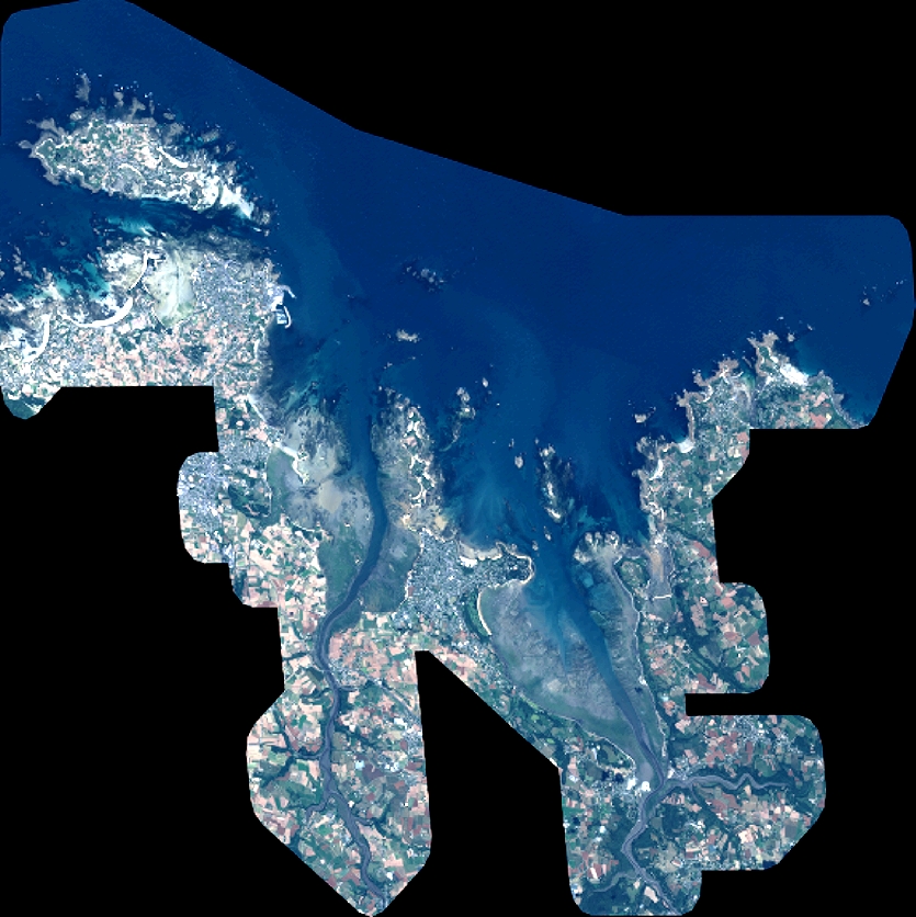
Quicklook
Copyright