TYPE:
SENSOR
LAYER:
DS_PHR1A_201907030825380_FR1_PX_E029S02_0316_01444
FORMAT:
DIMAP
RASTER:
image/jp2
General Information
Map Name
Geometric Processing Level
Radiometric Processing Level
BASIC
Image dimensions
Number of columns
27878
Number of rows
32002
Number of spectral bands
4
Dataset framing
Vertice
Longitude (DEG)
Latitude (DEG)
Row
Col
#1
29.155639928975
-1.60227519502424
1
#2
29.29220301369673
-1.605761617420383
#3
29.29268174989702
-1.754385368399575
#4
29.15660508355204
-1.751800149797199
Dataset sources
PHR
Coordinate Reference System
Projected Coordinate System
Geocoding tables identification
EPSG(6.3)
Production
Production Date
2019-07-05T09:00:59.231
Job identification
4281555101-002
Dataset Producer Identification
AIRBUS DS GEO
Producer link
http://www.geo-airbusds.com
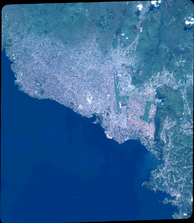
Quicklook
Copyright