TYPE:
SENSOR
LAYER:
DS_PHR1A_201907031129321_FR1_PX_W005N48_1218_00831
FORMAT:
DIMAP
RASTER:
image/jp2
General Information
Map Name
Geometric Processing Level
Radiometric Processing Level
BASIC
Image dimensions
Number of columns
2569
Number of rows
4564
Number of spectral bands
4
Dataset framing
Vertice
Longitude (DEG)
Latitude (DEG)
Row
Col
#1
-4.084749680804697
48.77477847033909
1
#2
-4.009424297882627
48.77759893770526
#3
-4.009621968091646
48.68892593862334
#4
-4.084838818267332
48.68629943770187
Dataset sources
PHR
Coordinate Reference System
Projected Coordinate System
Geocoding tables identification
EPSG(6.3)
Production
Production Date
2019-07-05T09:04:12.243
Job identification
4281694101-002
Dataset Producer Identification
AIRBUS DS GEO
Producer link
http://www.geo-airbusds.com
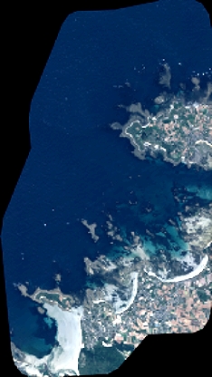
Quicklook
Copyright