TYPE:
SENSOR
LAYER:
DS_PHR1A_201907030825109_FR1_PX_E029S02_0316_01447
FORMAT:
DIMAP
RASTER:
image/jp2
General Information
Map Name
Geometric Processing Level
Radiometric Processing Level
BASIC
Image dimensions
Number of columns
26638
Number of rows
31945
Number of spectral bands
4
Dataset framing
Vertice
Longitude (DEG)
Latitude (DEG)
Row
Col
#1
29.15541313262141
-1.605644219502609
1
#2
29.29222694413643
-1.596252623743305
#3
29.29273566917599
-1.750765774134504
#4
29.15675032458581
-1.760954816732352
Dataset sources
PHR
Coordinate Reference System
Projected Coordinate System
Geocoding tables identification
EPSG(6.3)
Production
Production Date
2019-07-05T09:00:33.327
Job identification
4281555101-001
Dataset Producer Identification
AIRBUS DS GEO
Producer link
http://www.geo-airbusds.com
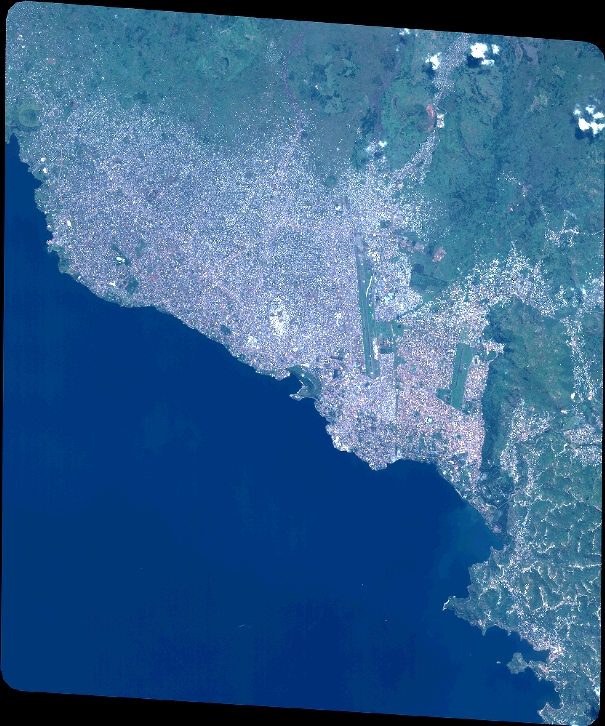
Quicklook
Copyright