|
PHR
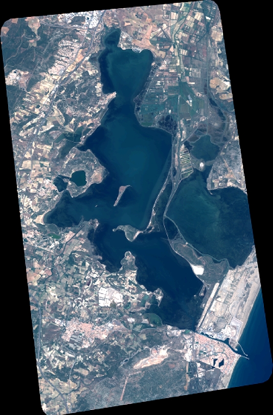
| DS_PHR1B_201907031042240_FR1_PX_E003N43_0102_01654 |
|
| ID | DS_PHR1B_201907031042240_FR1_PX_E003N43_0102_01654 |
| DATE | 2019-07-03 |
| TIME | 10:42:24.0Z |
| INSTRUMENT | PHR1B |
|
|
|
| |
|
| ID | |
| DATE | |
| TIME | |
| INSTRUMENT | 1B |
|
|
|
| |
|
| ID | |
| DATE | |
| TIME | |
| INSTRUMENT | 1B |
|
|
|
| |
|
| ID | |
| DATE | |
| TIME | |
| INSTRUMENT | 1B |
|
|
|
| |
|
| ID | |
| DATE | |
| TIME | |
| INSTRUMENT | 1B |
|
|