TYPE:
SENSOR
LAYER:
DS_PHR1B_201907020832484_FR1_PX_E029S02_0216_01842
FORMAT:
DIMAP
RASTER:
image/jp2
General Information
Map Name
Geometric Processing Level
Radiometric Processing Level
BASIC
Image dimensions
Number of columns
38783
Number of rows
40571
Number of spectral bands
4
Dataset framing
Vertice
Longitude (DEG)
Latitude (DEG)
Row
Col
#1
29.00563635806848
-1.442575020085043
1
#2
29.182252046905
-1.440543236315446
#3
29.18227526796462
-1.629675482710098
#4
29.00561474195242
-1.63144536047223
Dataset sources
PHR
Coordinate Reference System
Projected Coordinate System
Geocoding tables identification
EPSG(6.3)
Production
Production Date
2019-07-05T09:05:09.011
Job identification
4281554101-001
Dataset Producer Identification
AIRBUS DS GEO
Producer link
http://www.geo-airbusds.com
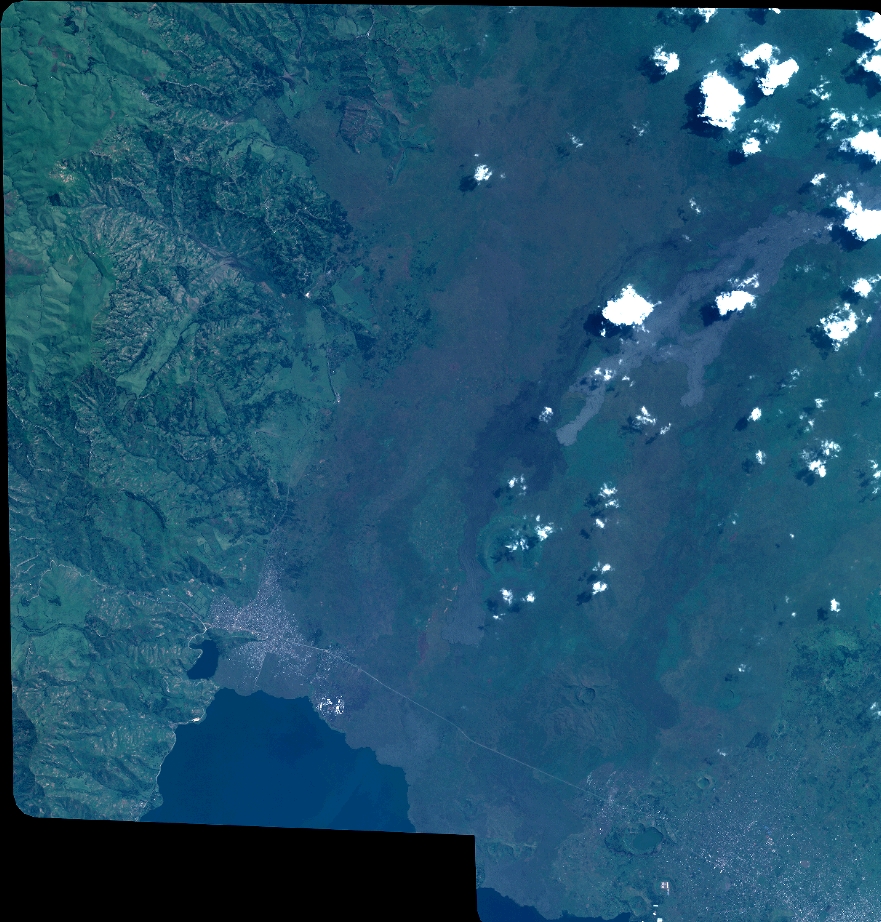
Quicklook
Copyright