TYPE:
SENSOR
LAYER:
DS_PHR1A_201906091455091_FR1_PX_W072S37_0804_01222
FORMAT:
DIMAP
RASTER:
image/jp2
General Information
Map Name
Geometric Processing Level
Radiometric Processing Level
BASIC
Image dimensions
Number of columns
24554
Number of rows
26913
Number of spectral bands
1
Dataset framing
Vertice
Longitude (DEG)
Latitude (DEG)
Row
Col
#1
-71.44886252873253
-36.80681747657623
#2
-71.3057211675835
-36.80473677343284
#3
-71.30688610877105
-36.92917568328325
#4
-71.44839456964429
-36.92988427823751
Dataset sources
PHR
Coordinate Reference System
Projected Coordinate System
Geocoding tables identification
EPSG(6.3)
Production
Production Date
2019-06-11T13:28:51.238
Job identification
4213236101-003
Dataset Producer Identification
AIRBUS DS GEO
Producer link
http://www.geo-airbusds.com
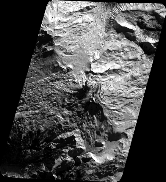
Quicklook
Copyright