TYPE:
SENSOR
LAYER:
DS_PHR1A_201906091454593_FR1_PX_W072S37_0804_01215
FORMAT:
DIMAP
RASTER:
image/jp2
General Information
Map Name
Geometric Processing Level
Radiometric Processing Level
BASIC
Image dimensions
Number of columns
24805
Number of rows
26900
Number of spectral bands
1
Dataset framing
Vertice
Longitude (DEG)
Latitude (DEG)
Row
Col
#1
-71.44872235868695
-36.80695366477731
#2
-71.30569023418687
-36.80693691798837
#3
-71.30672186807185
-36.92912701357026
#4
-71.44844011961396
-36.92889992055535
Dataset sources
PHR
Coordinate Reference System
Projected Coordinate System
Geocoding tables identification
EPSG(6.3)
Production
Production Date
2019-06-11T13:28:34.797
Job identification
4213236101-002
Dataset Producer Identification
AIRBUS DS GEO
Producer link
http://www.geo-airbusds.com
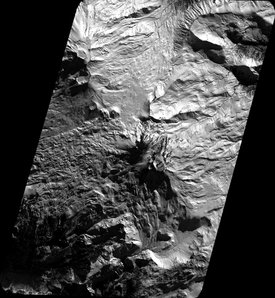
Quicklook
Copyright