TYPE:
SENSOR
LAYER:
DS_PHR1A_201906091454450_FR1_PX_W072S37_0804_01217
FORMAT:
DIMAP
RASTER:
image/jp2
General Information
Map Name
Geometric Processing Level
Radiometric Processing Level
BASIC
Image dimensions
Number of columns
24729
Number of rows
26768
Number of spectral bands
1
Dataset framing
Vertice
Longitude (DEG)
Latitude (DEG)
Row
Col
#1
-71.4485293282805
-36.80490179750906
#2
-71.30570137742573
-36.80693645146281
#3
-71.30645984494051
-36.92966143430523
#4
-71.44839143773311
-36.92895210789882
Dataset sources
PHR
Coordinate Reference System
Projected Coordinate System
Geocoding tables identification
EPSG(6.3)
Production
Production Date
2019-06-11T13:28:41.530
Job identification
4213236101-001
Dataset Producer Identification
AIRBUS DS GEO
Producer link
http://www.geo-airbusds.com
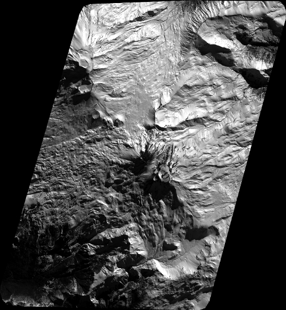
Quicklook
Copyright