TYPE:
SENSOR
LAYER:
DS_PHR1A_201906091455091_FR1_PX_W072S37_0804_01222
FORMAT:
DIMAP
RASTER:
image/jp2
General Information
Map Name
Geometric Processing Level
Radiometric Processing Level
BASIC
Image dimensions
Number of columns
6139
Number of rows
6729
Number of spectral bands
4
Dataset framing
Vertice
Longitude (DEG)
Latitude (DEG)
Row
Col
#1
-71.44885622977083
-36.80681937378385
1
#2
-71.30571999770974
-36.80473898002811
#3
-71.30688390920943
-36.92917879784777
#4
-71.44838613413481
-36.92988651736409
Dataset sources
PHR
Coordinate Reference System
Projected Coordinate System
Geocoding tables identification
EPSG(6.3)
Production
Production Date
2019-06-11T13:28:56.533
Job identification
4213236101-006
Dataset Producer Identification
AIRBUS DS GEO
Producer link
http://www.geo-airbusds.com
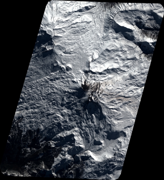
Quicklook
Copyright