TYPE:
SENSOR
LAYER:
DS_PHR1A_201906091454593_FR1_PX_W072S37_0804_01215
FORMAT:
DIMAP
RASTER:
image/jp2
General Information
Map Name
Geometric Processing Level
Radiometric Processing Level
BASIC
Image dimensions
Number of columns
6202
Number of rows
6725
Number of spectral bands
4
Dataset framing
Vertice
Longitude (DEG)
Latitude (DEG)
Row
Col
#1
-71.44872073007475
-36.80695986209813
1
#2
-71.30568814680043
-36.80694366291215
#3
-71.30672084435001
-36.92911876771661
#4
-71.44843949149035
-36.92889115725705
Dataset sources
PHR
Coordinate Reference System
Projected Coordinate System
Geocoding tables identification
EPSG(6.3)
Production
Production Date
2019-06-11T13:28:45.071
Job identification
4213236101-005
Dataset Producer Identification
AIRBUS DS GEO
Producer link
http://www.geo-airbusds.com
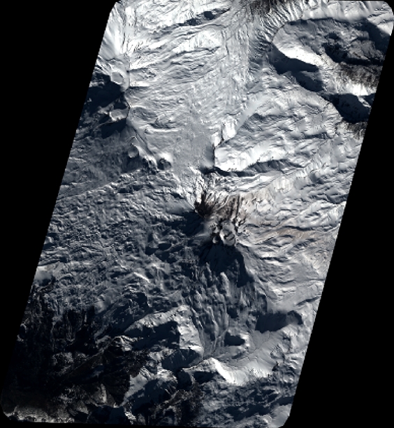
Quicklook
Copyright