TYPE:
SENSOR
LAYER:
DS_PHR1A_201906091454450_FR1_PX_W072S37_0804_01217
FORMAT:
DIMAP
RASTER:
image/jp2
General Information
Map Name
Geometric Processing Level
Radiometric Processing Level
BASIC
Image dimensions
Number of columns
6183
Number of rows
6693
Number of spectral bands
4
Dataset framing
Vertice
Longitude (DEG)
Latitude (DEG)
Row
Col
#1
-71.44851624717229
-36.80490887205256
1
#2
-71.30568771610876
-36.8069431461666
#3
-71.3064476319464
-36.92967052497507
#4
-71.44837827851812
-36.92896355838191
Dataset sources
PHR
Coordinate Reference System
Projected Coordinate System
Geocoding tables identification
EPSG(6.3)
Production
Production Date
2019-06-11T13:28:49.281
Job identification
4213236101-004
Dataset Producer Identification
AIRBUS DS GEO
Producer link
http://www.geo-airbusds.com
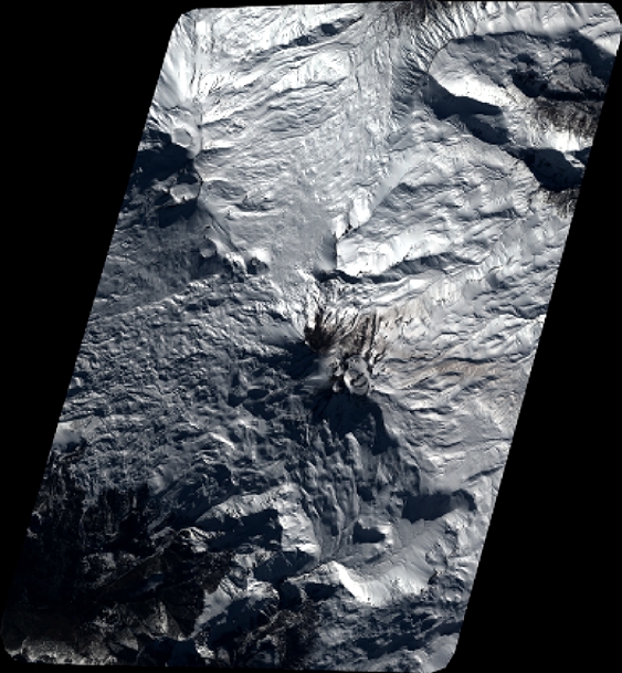
Quicklook
Copyright