TYPE:
SENSOR
LAYER:
DS_PHR1B_201905081451326_FR1_PX_W072S37_0804_01219
FORMAT:
DIMAP
RASTER:
image/jp2
General Information
Map Name
Geometric Processing Level
Radiometric Processing Level
BASIC
Image dimensions
Number of columns
6244
Number of rows
6702
Number of spectral bands
4
Dataset framing
Vertice
Longitude (DEG)
Latitude (DEG)
Row
Col
#1
-71.44826900295597
-36.80716071961636
1
#2
-71.30570458419463
-36.80619964801655
#3
-71.30604209833356
-36.92954719069837
#4
-71.44830984853849
-36.92914727639268
Dataset sources
PHR
Coordinate Reference System
Projected Coordinate System
Geocoding tables identification
EPSG(6.3)
Production
Production Date
2019-05-16T15:24:34.864
Job identification
4114103101-006
Dataset Producer Identification
AIRBUS DS GEO
Producer link
http://www.geo-airbusds.com
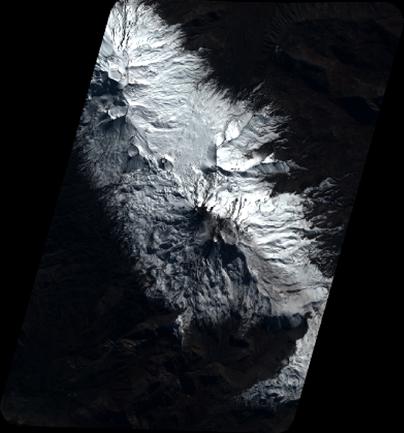
Quicklook
Copyright