TYPE:
SENSOR
LAYER:
DS_PHR1B_201905081451220_FR1_PX_W072S37_0804_01219
FORMAT:
DIMAP
RASTER:
image/jp2
General Information
Map Name
Geometric Processing Level
Radiometric Processing Level
BASIC
Image dimensions
Number of columns
6292
Number of rows
6720
Number of spectral bands
4
Dataset framing
Vertice
Longitude (DEG)
Latitude (DEG)
Row
Col
#1
-71.44816798916824
-36.80758566486827
1
#2
-71.30572217538112
-36.80751323160663
#3
-71.30582169149544
-36.92869420489598
#4
-71.44829343752114
-36.92865670398601
Dataset sources
PHR
Coordinate Reference System
Projected Coordinate System
Geocoding tables identification
EPSG(6.3)
Production
Production Date
2019-05-16T15:24:45.841
Job identification
4114103101-005
Dataset Producer Identification
AIRBUS DS GEO
Producer link
http://www.geo-airbusds.com
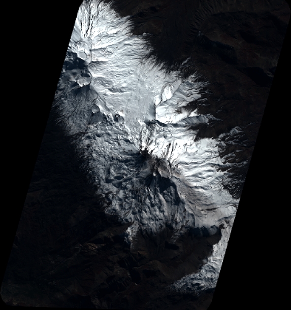
Quicklook
Copyright