TYPE:
SENSOR
LAYER:
DS_PHR1B_201905081451086_FR1_PX_W072S37_0804_01223
FORMAT:
DIMAP
RASTER:
image/jp2
General Information
Map Name
Geometric Processing Level
Radiometric Processing Level
BASIC
Image dimensions
Number of columns
6243
Number of rows
6725
Number of spectral bands
4
Dataset framing
Vertice
Longitude (DEG)
Latitude (DEG)
Row
Col
#1
-71.44798949206425
-36.80672583504446
1
#2
-71.30571730299184
-36.80683597011162
#3
-71.30555621518977
-36.92900396757798
#4
-71.44830456257786
-36.93048654810634
Dataset sources
PHR
Coordinate Reference System
Projected Coordinate System
Geocoding tables identification
EPSG(6.3)
Production
Production Date
2019-05-16T15:24:38.723
Job identification
4114103101-004
Dataset Producer Identification
AIRBUS DS GEO
Producer link
http://www.geo-airbusds.com
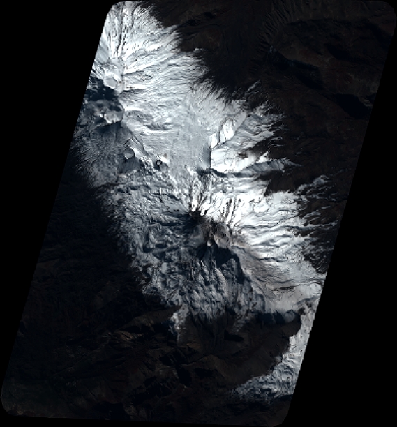
Quicklook
Copyright