TYPE:
SENSOR
LAYER:
DS_PHR1B_201904301032523_FR1_PX_E006N44_0523_01453
FORMAT:
DIMAP
RASTER:
image/jp2
General Information
Map Name
Geometric Processing Level
Radiometric Processing Level
BASIC
Image dimensions
Number of columns
7058
Number of rows
7939
Number of spectral bands
4
Dataset framing
Vertice
Longitude (DEG)
Latitude (DEG)
Row
Col
#1
6.297376386907612
45.01026524592347
1
#2
6.481230235119597
45.01229489437986
#3
6.479651175131703
44.86525208612915
#4
6.296552353447486
44.86284047906125
Dataset sources
PHR
Coordinate Reference System
Projected Coordinate System
Geocoding tables identification
EPSG(6.3)
Production
Production Date
2019-04-30T17:32:31.861
Job identification
4059036101-003
Dataset Producer Identification
AIRBUS DS GEO
Producer link
http://www.geo-airbusds.com
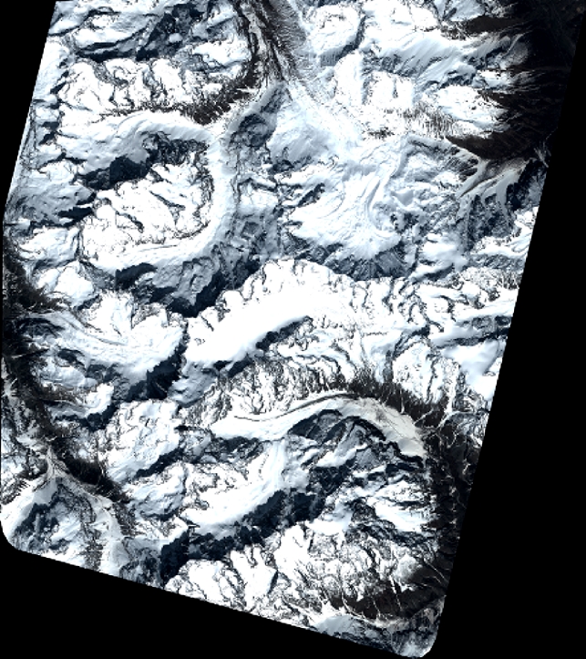
Quicklook
Copyright