TYPE:
SENSOR
LAYER:
DS_PHR1A_201904290546446_FR1_PX_E078N36_0706_00963
FORMAT:
DIMAP
RASTER:
image/jp2
General Information
Map Name
Geometric Processing Level
Radiometric Processing Level
BASIC
Image dimensions
Number of columns
32961
Number of rows
21228
Number of spectral bands
1
Dataset framing
Vertice
Longitude (DEG)
Latitude (DEG)
Row
Col
#1
78.47348578166898
36.28417017004649
#2
78.66638752063209
36.28922985108417
#3
78.67193137404216
36.19220289824427
#4
78.47329129283212
36.18516198851074
Dataset sources
PHR
Coordinate Reference System
Projected Coordinate System
Geocoding tables identification
EPSG(6.3)
Production
Production Date
2019-06-12T16:40:36.600
Job identification
4220572101-002
Dataset Producer Identification
AIRBUS DS GEO
Producer link
http://www.geo-airbusds.com
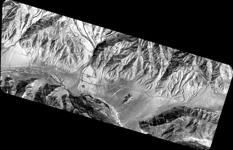
Quicklook
Copyright