TYPE:
SENSOR
LAYER:
DS_PHR1A_201904290546178_FR1_PX_E078N36_0706_00915
FORMAT:
DIMAP
RASTER:
image/jp2
General Information
Map Name
Geometric Processing Level
Radiometric Processing Level
BASIC
Image dimensions
Number of columns
34079
Number of rows
19609
Number of spectral bands
1
Dataset framing
Vertice
Longitude (DEG)
Latitude (DEG)
Row
Col
#1
78.47383994212716
36.28461010949149
#2
78.66814880615435
36.28205200233288
#3
78.67175747844752
36.19067075699703
#4
78.47322559669583
36.19560373519509
Dataset sources
PHR
Coordinate Reference System
Projected Coordinate System
Geocoding tables identification
EPSG(6.3)
Production
Production Date
2019-06-12T16:40:39.673
Job identification
4220572101-003
Dataset Producer Identification
AIRBUS DS GEO
Producer link
http://www.geo-airbusds.com
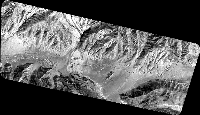
Quicklook
Copyright