TYPE:
SENSOR
LAYER:
DS_PHR1A_201904290546446_FR1_PX_E078N36_0706_00963
FORMAT:
DIMAP
RASTER:
image/jp2
General Information
Map Name
Geometric Processing Level
Radiometric Processing Level
BASIC
Image dimensions
Number of columns
8241
Number of rows
5307
Number of spectral bands
4
Dataset framing
Vertice
Longitude (DEG)
Latitude (DEG)
Row
Col
#1
78.47349516433009
36.28416349906065
1
#2
78.66639755615839
36.28922272306346
#3
78.67193819433095
36.1922094551745
#4
78.47330009035957
36.18517014563298
Dataset sources
PHR
Coordinate Reference System
Projected Coordinate System
Geocoding tables identification
EPSG(6.3)
Production
Production Date
2019-06-12T16:40:44.931
Job identification
4220572101-005
Dataset Producer Identification
AIRBUS DS GEO
Producer link
http://www.geo-airbusds.com
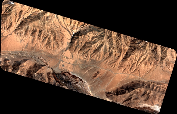
Quicklook
Copyright