TYPE:
SENSOR
LAYER:
DS_PHR1A_201904290546178_FR1_PX_E078N36_0706_00915
FORMAT:
DIMAP
RASTER:
image/jp2
General Information
Map Name
Geometric Processing Level
Radiometric Processing Level
BASIC
Image dimensions
Number of columns
8521
Number of rows
4903
Number of spectral bands
4
Dataset framing
Vertice
Longitude (DEG)
Latitude (DEG)
Row
Col
#1
78.47383863239335
36.28460736194831
1
#2
78.66815792345078
36.28204950175252
#3
78.67176726276985
36.19066738564331
#4
78.47322379269549
36.19560063756263
Dataset sources
PHR
Coordinate Reference System
Projected Coordinate System
Geocoding tables identification
EPSG(6.3)
Production
Production Date
2019-06-12T16:41:21.274
Job identification
4220572101-006
Dataset Producer Identification
AIRBUS DS GEO
Producer link
http://www.geo-airbusds.com
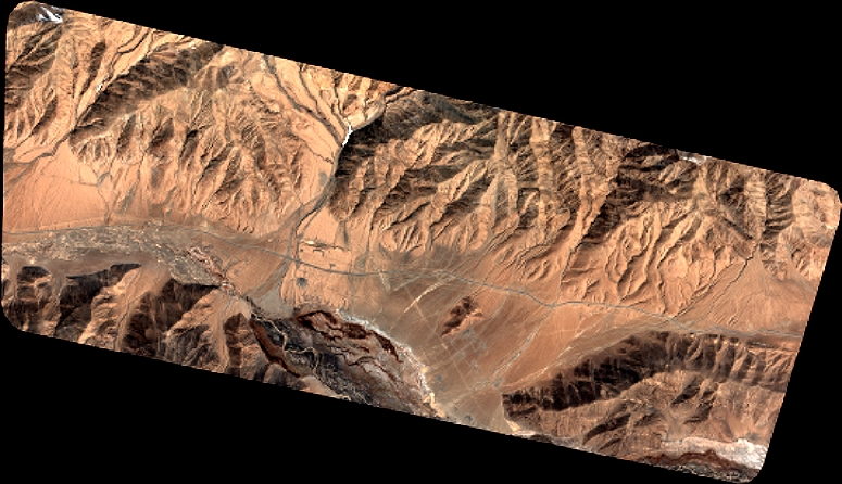
Quicklook
Copyright