TYPE:
SENSOR
LAYER:
DS_PHR1A_201904290546067_FR1_PX_E078N36_0706_00887
FORMAT:
DIMAP
RASTER:
image/jp2
General Information
Map Name
Geometric Processing Level
Radiometric Processing Level
BASIC
Image dimensions
Number of columns
8446
Number of rows
4582
Number of spectral bands
4
Dataset framing
Vertice
Longitude (DEG)
Latitude (DEG)
Row
Col
#1
78.4739565603287
36.28459104710762
1
#2
78.66847675128537
36.28027145406128
#3
78.6715541234698
36.19035217914629
#4
78.47310392081302
36.19924547566846
Dataset sources
PHR
Coordinate Reference System
Projected Coordinate System
Geocoding tables identification
EPSG(6.3)
Production
Production Date
2019-06-12T16:41:11.427
Job identification
4220572101-004
Dataset Producer Identification
AIRBUS DS GEO
Producer link
http://www.geo-airbusds.com
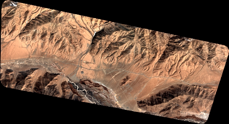
Quicklook
Copyright