TYPE:
SENSOR
LAYER:
DS_PHR1A_201904291040382_FR1_PX_E003N43_1216_03025
FORMAT:
DIMAP
RASTER:
image/jp2
General Information
Map Name
Geometric Processing Level
Radiometric Processing Level
BASIC
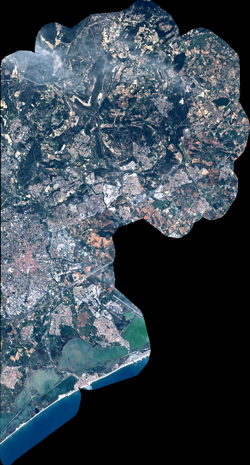
Image dimensions
Number of columns
9076
Number of rows
16911
Number of spectral bands
4
Dataset framing
Vertice
Longitude (DEG)
Latitude (DEG)
Row
Col
#1
3.850250123443007
43.78058488410919
1
#2
4.083465832705241
43.78196606626506
#3
4.082408925247726
43.47524644809241
#4
3.851033133609174
43.47243139415497
Dataset sources
PHR
Coordinate Reference System
Projected Coordinate System
Geocoding tables identification
EPSG(6.3)
Production
Production Date
2019-04-30T13:51:13.287
Job identification
4058188101-002
Dataset Producer Identification
AIRBUS DS GEO
Producer link
http://www.geo-airbusds.com
Quicklook
Copyright