TYPE:
SENSOR
LAYER:
DS_PHR1A_201904291040508_FR1_PX_E003N43_1015_02926
FORMAT:
DIMAP
RASTER:
image/jp2
General Information
Map Name
Geometric Processing Level
Radiometric Processing Level
BASIC
Image dimensions
Number of columns
39328
Number of rows
65416
Number of spectral bands
1
Dataset framing
Vertice
Longitude (DEG)
Latitude (DEG)
Row
Col
#1
3.638244750220177
43.74925384249465
#2
3.889610845371815
43.74706005547661
#3
3.888266782898222
43.45164728616838
#4
3.638591145399407
43.4525277555316
Dataset sources
PHR
Coordinate Reference System
Projected Coordinate System
Geocoding tables identification
EPSG(6.3)
Production
Production Date
2019-04-30T13:51:29.894
Job identification
4058187101-001
Dataset Producer Identification
AIRBUS DS GEO
Producer link
http://www.geo-airbusds.com
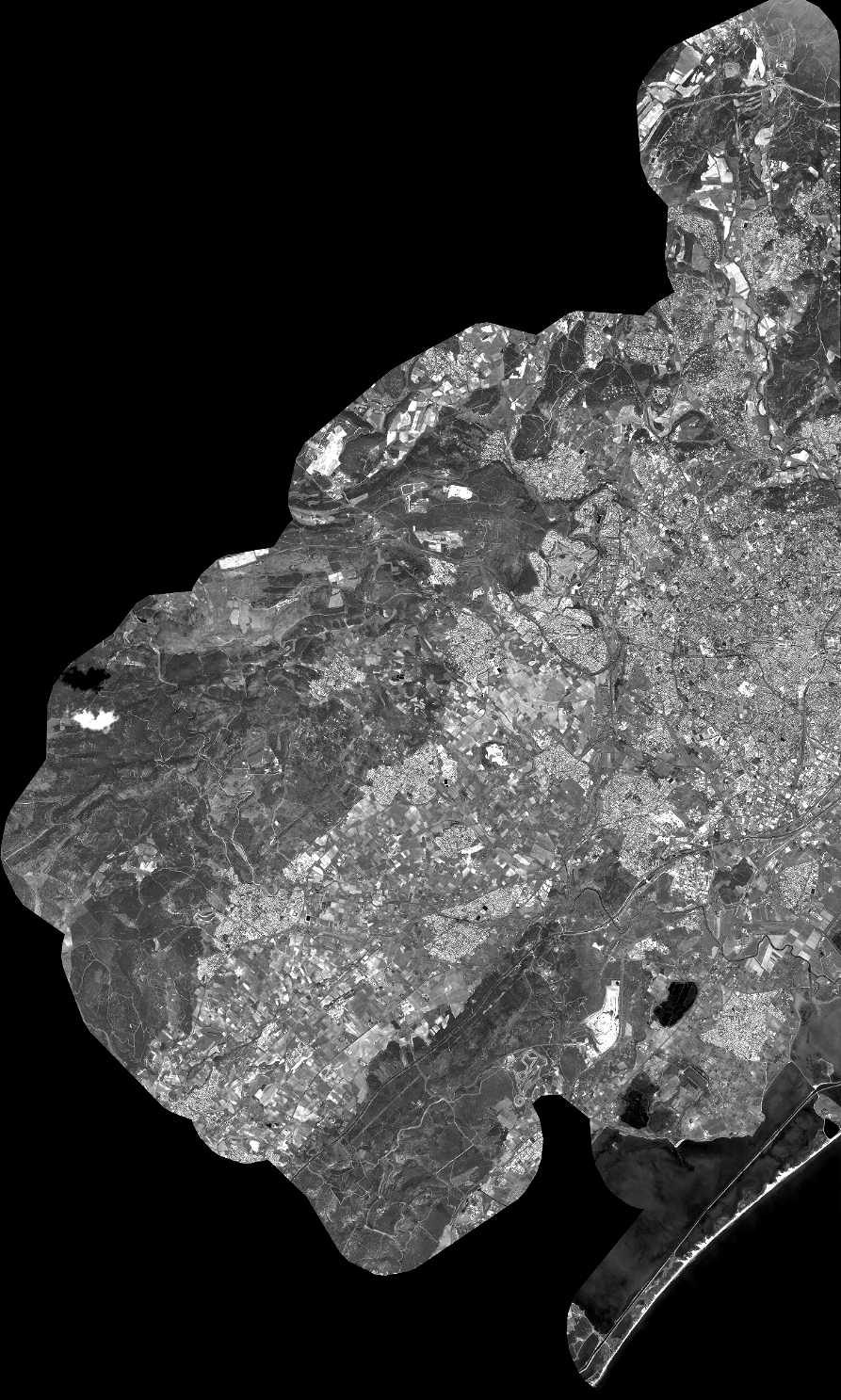
Quicklook
Copyright