TYPE:
SENSOR
LAYER:
DS_PHR1A_201904251450038_FR1_PX_W070S34_0111_01357
FORMAT:
DIMAP
RASTER:
image/jp2
General Information
Map Name
Geometric Processing Level
Radiometric Processing Level
BASIC
Image dimensions
Number of columns
26283
Number of rows
30096
Number of spectral bands
1
Dataset framing
Vertice
Longitude (DEG)
Latitude (DEG)
Row
Col
#1
-70.00034546832327
-33.4911014988258
#2
-69.85805942287661
-33.4910901094079
#3
-69.85731738682793
-33.62658312471002
#4
-70.00004492279156
-33.62641107653698
Dataset sources
PHR
Coordinate Reference System
Projected Coordinate System
Geocoding tables identification
EPSG(6.3)
Production
Production Date
2019-04-26T13:39:22.509
Job identification
4047320101-002
Dataset Producer Identification
AIRBUS DS GEO
Producer link
http://www.geo-airbusds.com
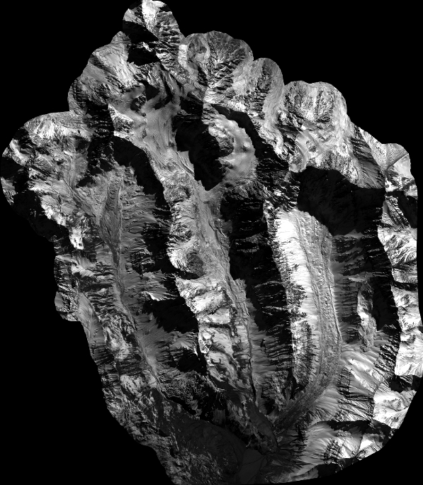
Quicklook
Copyright