TYPE:
SENSOR
LAYER:
DS_PHR1B_201904230543226_FR1_PX_E078N36_0507_01069
FORMAT:
DIMAP
RASTER:
image/jp2
General Information
Map Name
Geometric Processing Level
Radiometric Processing Level
BASIC
Image dimensions
Number of columns
39034
Number of rows
23390
Number of spectral bands
1
Dataset framing
Vertice
Longitude (DEG)
Latitude (DEG)
Row
Col
#1
78.27960723713745
36.32310772145068
#2
78.50428133183047
36.32775664122948
#3
78.5065789805226
36.21923360107578
#4
78.27831158247905
36.20957043748162
Dataset sources
PHR
Coordinate Reference System
Projected Coordinate System
Geocoding tables identification
EPSG(6.3)
Production
Production Date
2019-06-12T16:41:00.814
Job identification
4220571101-002
Dataset Producer Identification
AIRBUS DS GEO
Producer link
http://www.geo-airbusds.com
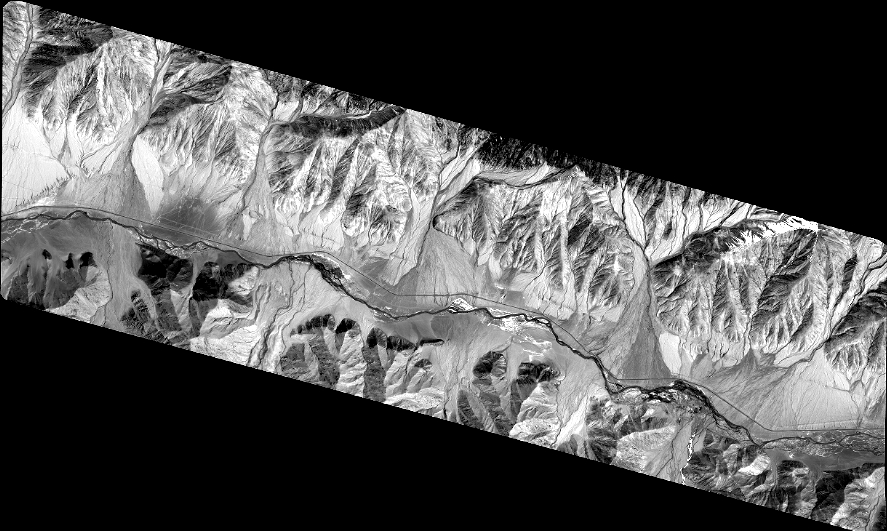
Quicklook
Copyright