TYPE:
SENSOR
LAYER:
DS_PHR1B_201904230543043_FR1_PX_E078N36_0507_01062
FORMAT:
DIMAP
RASTER:
image/jp2
General Information
Map Name
Geometric Processing Level
Radiometric Processing Level
BASIC
Image dimensions
Number of columns
40000
Number of rows
23344
Number of spectral bands
1
Dataset framing
Vertice
Longitude (DEG)
Latitude (DEG)
Row
Col
#1
78.28165111574798
36.32301617168908
#2
78.50333772447134
36.32360675307066
#3
78.50520912642139
36.22020550986271
#4
78.28112032244222
36.21843923803399
Dataset sources
PHR
Coordinate Reference System
Projected Coordinate System
Geocoding tables identification
EPSG(6.3)
Production
Production Date
2019-06-12T16:40:47.108
Job identification
4220571101-003
Dataset Producer Identification
AIRBUS DS GEO
Producer link
http://www.geo-airbusds.com
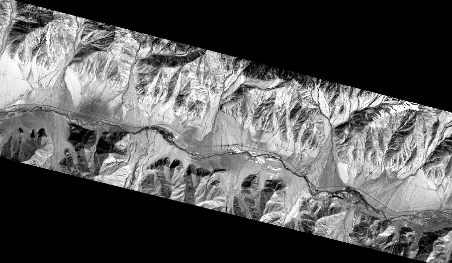
Quicklook
Copyright