TYPE:
SENSOR
LAYER:
DS_PHR1B_201904230542355_FR1_PX_E078N36_0507_01040
FORMAT:
DIMAP
RASTER:
image/jp2
General Information
Map Name
Geometric Processing Level
Radiometric Processing Level
BASIC
Image dimensions
Number of columns
39964
Number of rows
22309
Number of spectral bands
1
Dataset framing
Vertice
Longitude (DEG)
Latitude (DEG)
Row
Col
#1
78.28046290173104
36.32439715937211
#2
78.50591793715112
36.32596995666554
#3
78.50644096460492
36.21926675608818
#4
78.28051519128333
36.22182441700234
Dataset sources
PHR
Coordinate Reference System
Projected Coordinate System
Geocoding tables identification
EPSG(6.3)
Production
Production Date
2019-06-12T16:39:48.780
Job identification
4220571101-001
Dataset Producer Identification
AIRBUS DS GEO
Producer link
http://www.geo-airbusds.com
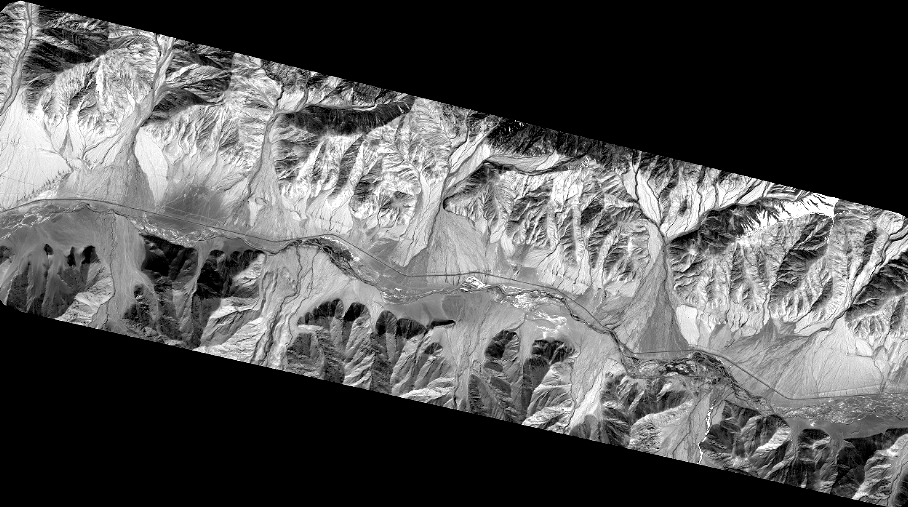
Quicklook
Copyright