TYPE:
SENSOR
LAYER:
DS_PHR1B_201904230543226_FR1_PX_E078N36_0507_01069
FORMAT:
DIMAP
RASTER:
image/jp2
General Information
Map Name
Geometric Processing Level
Radiometric Processing Level
BASIC
Image dimensions
Number of columns
9760
Number of rows
5847
Number of spectral bands
4
Dataset framing
Vertice
Longitude (DEG)
Latitude (DEG)
Row
Col
#1
78.27960950089724
36.32309418747944
1
#2
78.504297653077
36.32773794074598
#3
78.50659815679319
36.21924036960084
#4
78.27831472907691
36.20957941525463
Dataset sources
PHR
Coordinate Reference System
Projected Coordinate System
Geocoding tables identification
EPSG(6.3)
Production
Production Date
2019-06-12T16:41:07.960
Job identification
4220571101-005
Dataset Producer Identification
AIRBUS DS GEO
Producer link
http://www.geo-airbusds.com
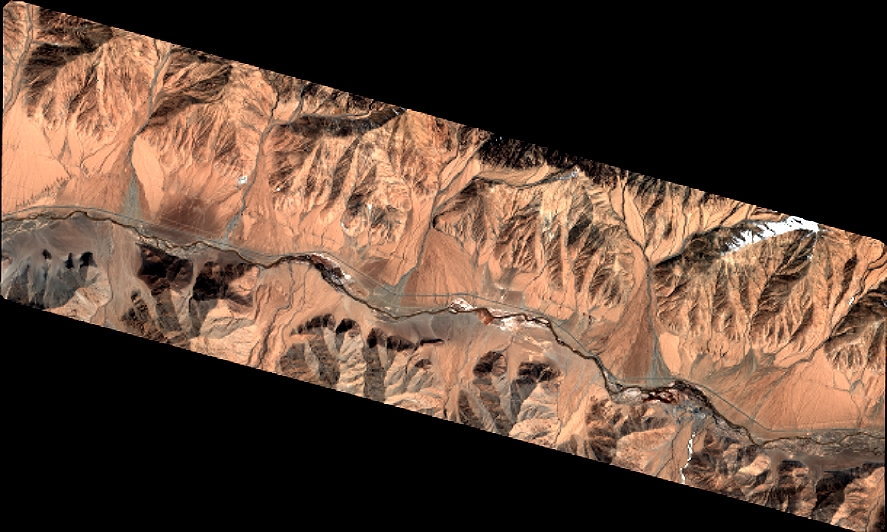
Quicklook
Copyright