TYPE:
SENSOR
LAYER:
DS_PHR1B_201904230543043_FR1_PX_E078N36_0507_01062
FORMAT:
DIMAP
RASTER:
image/jp2
General Information
Map Name
Geometric Processing Level
Radiometric Processing Level
BASIC
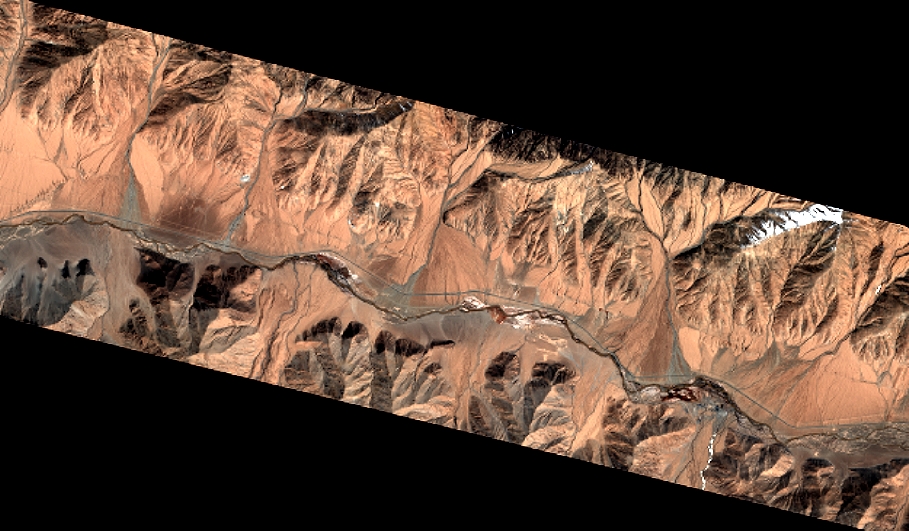
Image dimensions
Number of columns
10000
Number of rows
5836
Number of spectral bands
4
Dataset framing
Vertice
Longitude (DEG)
Latitude (DEG)
Row
Col
#1
78.28165862879227
36.32300997040021
1
#2
78.50332789269872
36.32360040381997
#3
78.50519970230071
36.22021295914312
#4
78.28112697801834
36.21844607265387
Dataset sources
PHR
Coordinate Reference System
Projected Coordinate System
Geocoding tables identification
EPSG(6.3)
Production
Production Date
2019-06-12T16:40:52.567
Job identification
4220571101-006
Dataset Producer Identification
AIRBUS DS GEO
Producer link
http://www.geo-airbusds.com
Quicklook
Copyright