TYPE:
SENSOR
LAYER:
DS_PHR1A_201904201057285_FR1_PX_E004N52_0610_01173
FORMAT:
DIMAP
RASTER:
image/jp2
General Information
Map Name
Geometric Processing Level
Radiometric Processing Level
BASIC
Image dimensions
Number of columns
19282
Number of rows
25956
Number of spectral bands
1
Dataset framing
Vertice
Longitude (DEG)
Latitude (DEG)
Row
Col
#1
4.379715923171276
52.31880861550783
#2
4.523071561928034
52.31945501701403
#3
4.522697551957163
52.20226641406088
#4
4.379587962337086
52.20176525811641
Dataset sources
PHR
Coordinate Reference System
Projected Coordinate System
Geocoding tables identification
EPSG(6.3)
Production
Production Date
2019-04-25T10:00:21.029
Job identification
4040451101-003
Dataset Producer Identification
AIRBUS DS GEO
Producer link
http://www.geo-airbusds.com
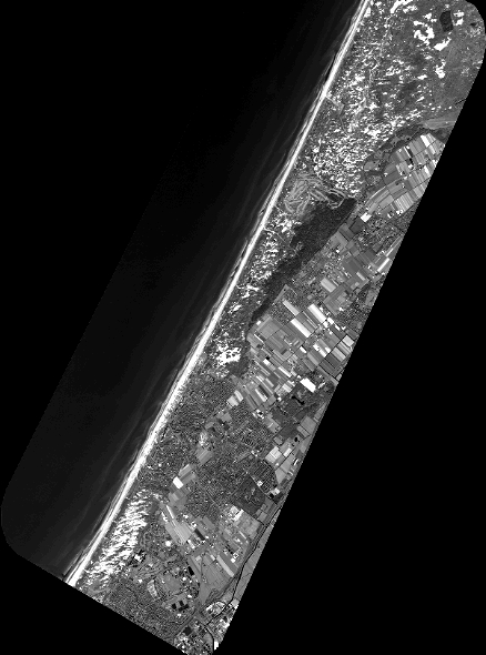
Quicklook
Copyright