TYPE:
SENSOR
LAYER:
DS_PHR1A_201904201057167_FR1_PX_E004N52_0610_01179
FORMAT:
DIMAP
RASTER:
image/jp2
General Information
Map Name
Geometric Processing Level
Radiometric Processing Level
BASIC
Image dimensions
Number of columns
19441
Number of rows
26092
Number of spectral bands
1
Dataset framing
Vertice
Longitude (DEG)
Latitude (DEG)
Row
Col
#1
4.379566352064065
52.31923571628431
#2
4.523063617618339
52.31907828945869
#3
4.522870671501895
52.202254444237
#4
4.379664989546946
52.20250980864792
Dataset sources
PHR
Coordinate Reference System
Projected Coordinate System
Geocoding tables identification
EPSG(6.3)
Production
Production Date
2019-04-25T10:00:09.965
Job identification
4040451101-002
Dataset Producer Identification
AIRBUS DS GEO
Producer link
http://www.geo-airbusds.com
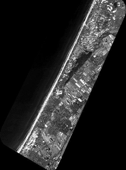
Quicklook
Copyright