TYPE:
SENSOR
LAYER:
DS_PHR1B_201904052305135_FR1_PX_E166S22_0407_04560
FORMAT:
DIMAP
RASTER:
image/tiff
General Information
Map Name
Geometric Processing Level
Radiometric Processing Level
BASIC
Image dimensions
Number of columns
40000
Number of rows
102084
Number of spectral bands
1
Dataset framing
Vertice
Longitude (DEG)
Latitude (DEG)
Row
Col
#1
166.2247335133607
-21.44640656455967
#2
166.4371522945196
-21.46131560796039
#3
166.4380306257173
-21.97893046585641
#4
166.2254796558326
-21.96494257859337
Dataset sources
PHR
Coordinate Reference System
Projected Coordinate System
Geocoding tables identification
EPSG(6.3)
Production
Production Date
2020-08-28T18:54:12.068
Job identification
5289701101-1
Dataset Producer Identification
AIRBUS DS GEO
Producer link
http://www.geo-airbusds.com
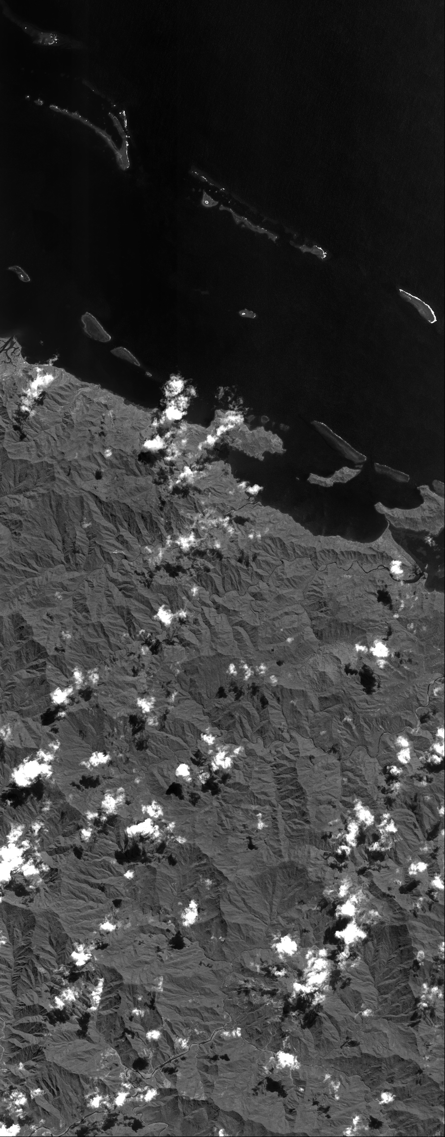
Quicklook
Copyright