TYPE:
SENSOR
LAYER:
DS_PHR1A_201904041447027_FR1_PX_W064N18_1202_01343
FORMAT:
DIMAP
RASTER:
image/jp2
General Information
Map Name
Geometric Processing Level
Radiometric Processing Level
BASIC
Image dimensions
Number of columns
33391
Number of rows
29784
Number of spectral bands
1
Dataset framing
Vertice
Longitude (DEG)
Latitude (DEG)
Row
Col
#1
-63.16557396604832
18.13219781162745
#2
-62.99742175798246
18.13466715489375
#3
-62.99764527938306
17.9976776971741
#4
-63.16528816849301
17.99435805714831
Dataset sources
PHR
Coordinate Reference System
Projected Coordinate System
Geocoding tables identification
EPSG(6.3)
Production
Production Date
2019-04-26T16:29:10.069
Job identification
4050029101-001
Dataset Producer Identification
AIRBUS DS GEO
Producer link
http://www.geo-airbusds.com
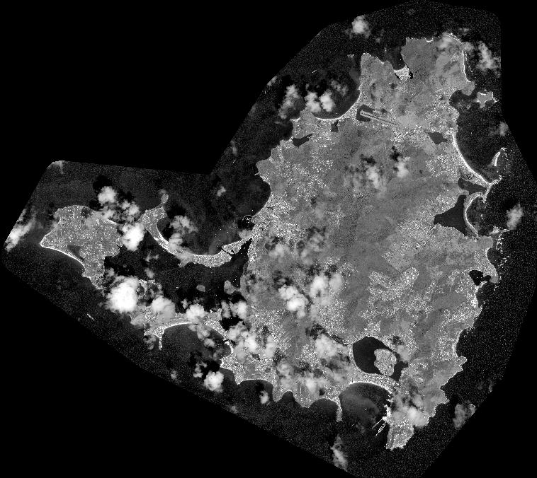
Quicklook
Copyright