TYPE:
SENSOR
LAYER:
DS_PHR1A_201904041447027_FR1_PX_W064N18_1202_01343
FORMAT:
DIMAP
RASTER:
image/jp2
General Information
Map Name
Geometric Processing Level
Radiometric Processing Level
BASIC
Image dimensions
Number of columns
8349
Number of rows
7446
Number of spectral bands
4
Dataset framing
Vertice
Longitude (DEG)
Latitude (DEG)
Row
Col
#1
-63.16557143939045
18.13219090451286
1
#2
-62.9974092515859
18.13466043273846
#3
-62.99763278680221
17.99768484035919
#4
-63.16528567784772
17.99436505141776
Dataset sources
PHR
Coordinate Reference System
Projected Coordinate System
Geocoding tables identification
EPSG(6.3)
Production
Production Date
2019-04-26T16:29:14.078
Job identification
4050029101-002
Dataset Producer Identification
AIRBUS DS GEO
Producer link
http://www.geo-airbusds.com
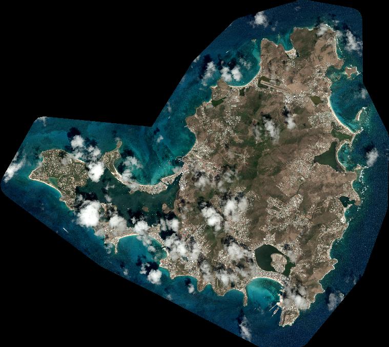
Quicklook
Copyright