TYPE:
ORTHO
LAYER:
DS_PHR1A_201903201046333_FR1_PX_E007N49_0812_00911
FORMAT:
DIMAP
RASTER:
image/jp2
General Information
Map Name
Geometric Processing Level
Radiometric Processing Level
BASIC
Image dimensions
Number of columns
25381
Number of rows
20589
Number of spectral bands
4
Dataset framing
Vertice
Longitude (DEG)
Latitude (DEG)
Row
Col
#1
7.508093807605443
49.47850010413511
1
#2
7.683226083713625
49.48062665692591
#3
7.685702261538589
49.38805721458941
#4
7.510899040121606
49.38593755930876
Dataset sources
PHR
Coordinate Reference System
Projected Coordinate System
Geocoding tables identification
EPSG(6.3)
Projected Coordinate System name
32632
Projected Coordinate System code
urn:ogc:def:crs:EPSG::32632
Geoposition
Upper - Left Map X Coordinate
391929.25
Upper - Left Map Y Coordinate
5481720.25
Image sampling
0.5 x 0.5
Production
Production Date
2020-09-03T06:52:37.314
Job identification
5299665101
Dataset Producer Identification
AIRBUS DS GEO
Producer link
http://www.geo-airbusds.com
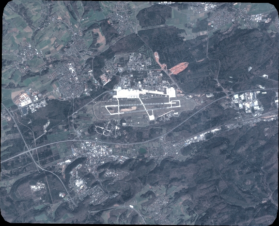
Quicklook
Copyright