TYPE:
SENSOR
LAYER:
DS_PHR1B_201902260308160_FR1_PX_E110S08_0611_00945
FORMAT:
DIMAP
RASTER:
image/jp2
General Information
Map Name
Geometric Processing Level
Radiometric Processing Level
BASIC
Image dimensions
Number of columns
20639
Number of rows
20421
Number of spectral bands
1
Dataset framing
Vertice
Longitude (DEG)
Latitude (DEG)
Row
Col
#1
110.3994465386638
-7.504620024323225
#2
110.4981178900245
-7.500452407107217
#3
110.4989343188285
-7.596464018808791
#4
110.3999013203189
-7.600515528393031
Dataset sources
PHR
Coordinate Reference System
Projected Coordinate System
Geocoding tables identification
EPSG(6.3)
Production
Production Date
2019-03-05T15:07:08.399
Job identification
3837333101-002
Dataset Producer Identification
AIRBUS DS GEO
Producer link
http://www.geo-airbusds.com
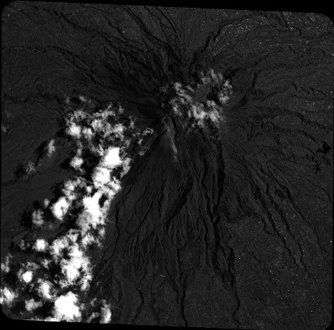
Quicklook
Copyright