TYPE:
SENSOR
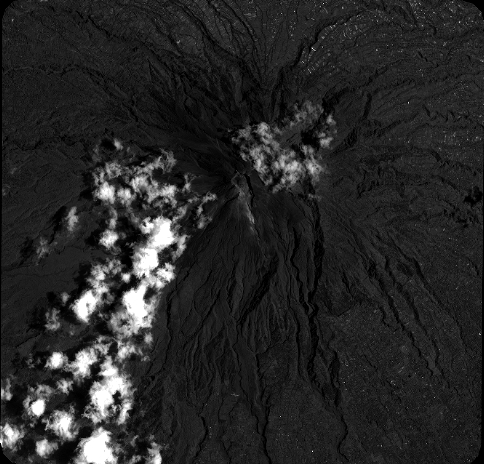
LAYER:
DS_PHR1B_201902260307588_FR1_PX_E110S08_0611_00931
FORMAT:
DIMAP
RASTER:
image/jp2
General Information
Map Name
Geometric Processing Level
Radiometric Processing Level
BASIC
Image dimensions
Number of columns
21296
Number of rows
20396
Number of spectral bands
1
Dataset framing
Vertice
Longitude (DEG)
Latitude (DEG)
Row
Col
#1
110.3995225117821
-7.504984889300738
#2
110.4981840546456
-7.504433425322459
#3
110.4988275771133
-7.596667673143505
#4
110.3998629073893
-7.597004039522281
Dataset sources
PHR
Coordinate Reference System
Projected Coordinate System
Geocoding tables identification
EPSG(6.3)
Production
Production Date
2019-03-05T15:07:32.838
Job identification
3837333101-003
Dataset Producer Identification
AIRBUS DS GEO
Producer link
http://www.geo-airbusds.com
Quicklook
Copyright