TYPE:
SENSOR
LAYER:
DS_PHR1B_201902260307588_FR1_PX_E110S08_0611_00931
FORMAT:
DIMAP
RASTER:
image/jp2
General Information
Map Name
Geometric Processing Level
Radiometric Processing Level
BASIC
Image dimensions
Number of columns
5325
Number of rows
5099
Number of spectral bands
4
Dataset framing
Vertice
Longitude (DEG)
Latitude (DEG)
Row
Col
#1
110.3995279906765
-7.504992812376211
1
#2
110.4981948183006
-7.504441390965386
#3
110.4988376545941
-7.596663202956589
#4
110.3998680816128
-7.596999491338519
Dataset sources
PHR
Coordinate Reference System
Projected Coordinate System
Geocoding tables identification
EPSG(6.3)
Production
Production Date
2019-03-05T15:07:34.551
Job identification
3837333101-006
Dataset Producer Identification
AIRBUS DS GEO
Producer link
http://www.geo-airbusds.com
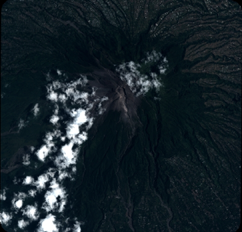
Quicklook
Copyright