TYPE:
SENSOR
LAYER:
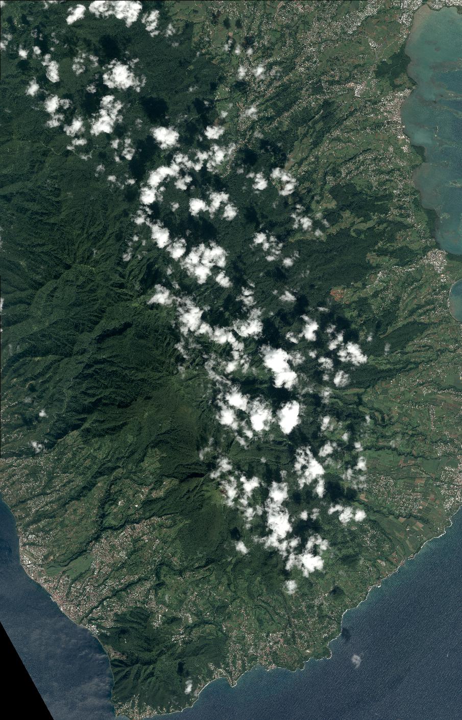
DS_PHR1A_201812211447552_FR1_PX_W062N16_0506_02797
FORMAT:
DIMAP
RASTER:
image/jp2
General Information
Map Name
Geometric Processing Level
Radiometric Processing Level
BASIC
Image dimensions
Number of columns
9956
Number of rows
15524
Number of spectral bands
4
Dataset framing
Vertice
Longitude (DEG)
Latitude (DEG)
Row
Col
#1
-61.7551081478292
16.24119894130998
1
#2
-61.56462670406271
16.23881108329606
#3
-61.56453618011725
15.9461415134227
#4
-61.75493175295488
15.94732560443364
Dataset sources
PHR
Coordinate Reference System
Projected Coordinate System
Geocoding tables identification
EPSG(6.3)
Production
Production Date
2019-04-26T16:50:19.467
Job identification
4050080101-002
Dataset Producer Identification
AIRBUS DS GEO
Producer link
http://www.geo-airbusds.com
Quicklook
Copyright