TYPE:
SENSOR
LAYER:
DS_PHR1B_201812081503077_FR1_PX_W072S37_0804_01156
FORMAT:
DIMAP
RASTER:
image/jp2
General Information
Map Name
Geometric Processing Level
Radiometric Processing Level
BASIC
Image dimensions
Number of columns
5454
Number of rows
6365
Number of spectral bands
4
Dataset framing
Vertice
Longitude (DEG)
Latitude (DEG)
Row
Col
#1
-71.45053743657509
-36.80755519010036
1
#2
-71.30573509568666
-36.80450435833309
#3
-71.30861099518503
-36.92882500896383
#4
-71.44883709448234
-36.9304771651538
Dataset sources
PHR
Coordinate Reference System
Projected Coordinate System
Geocoding tables identification
EPSG(6.3)
Production
Production Date
2018-12-13T13:16:34.257
Job identification
3613329101-006
Dataset Producer Identification
AIRBUS DS GEO
Producer link
http://www.geo-airbusds.com
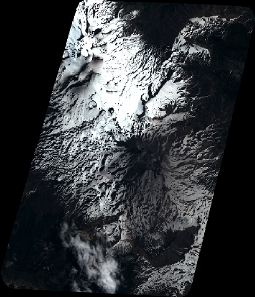
Quicklook
Copyright